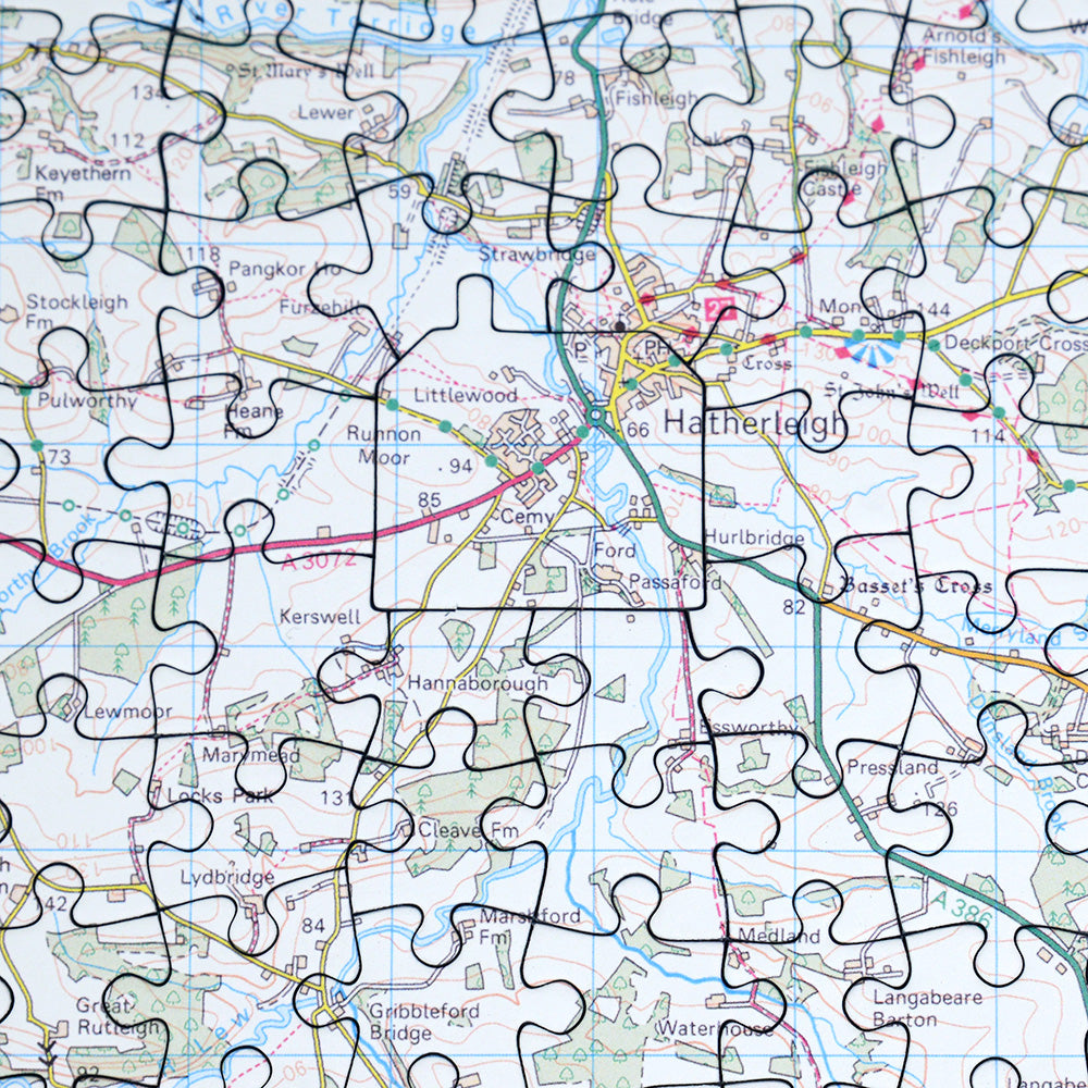
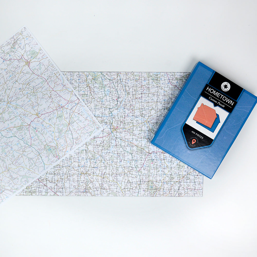
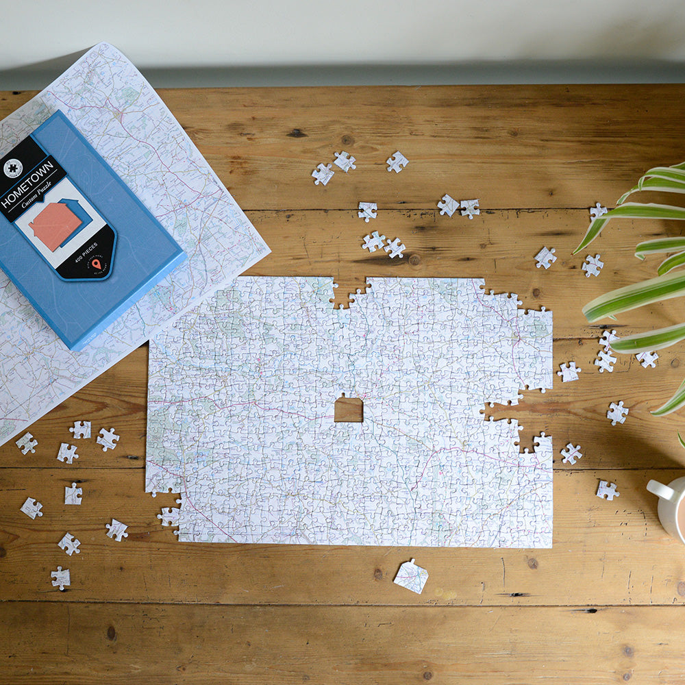
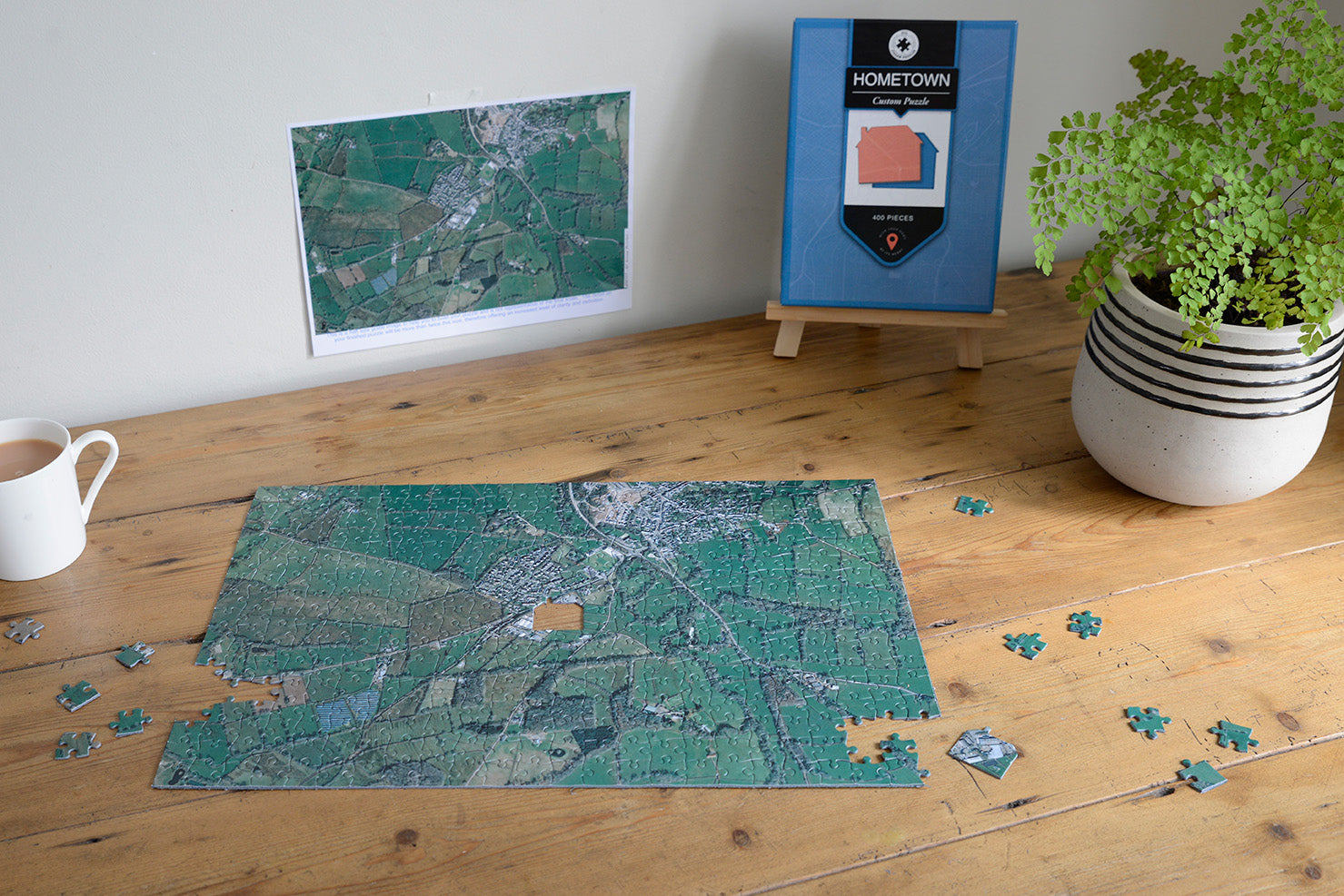
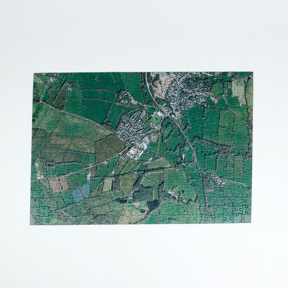
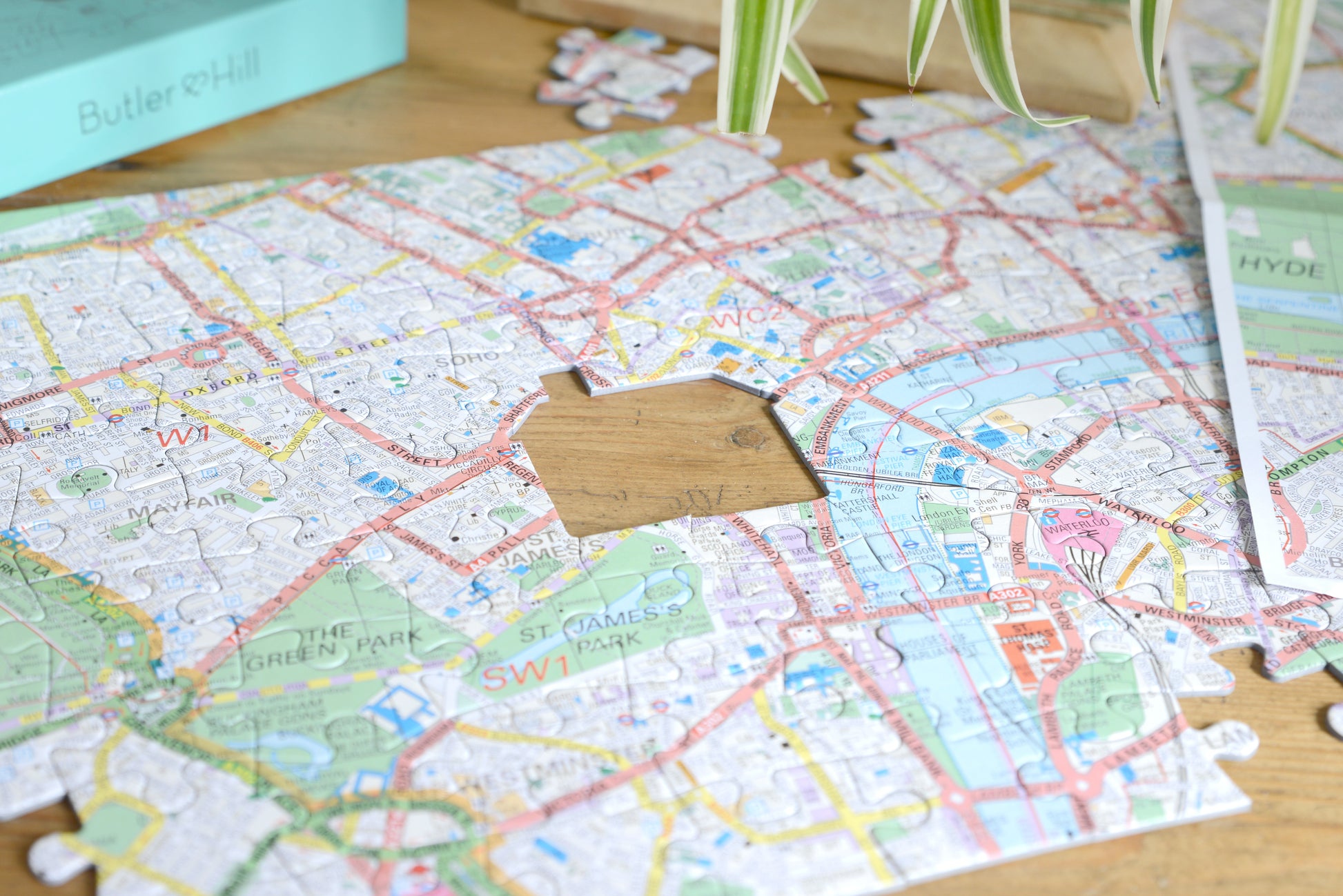
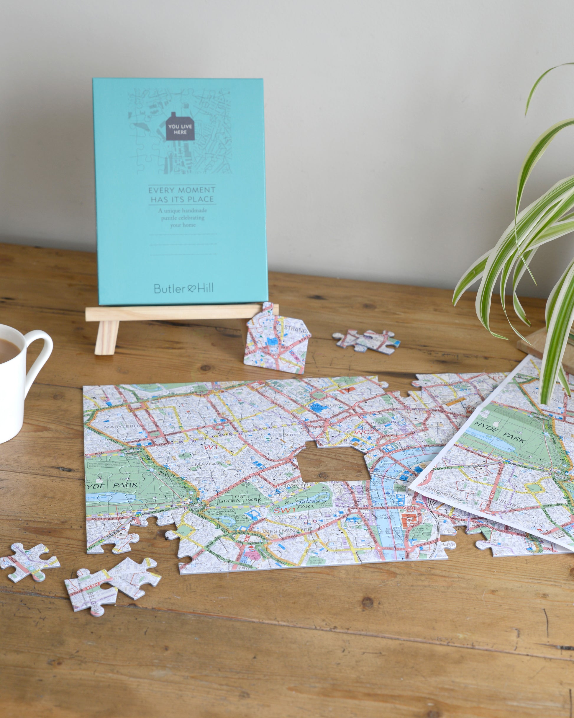
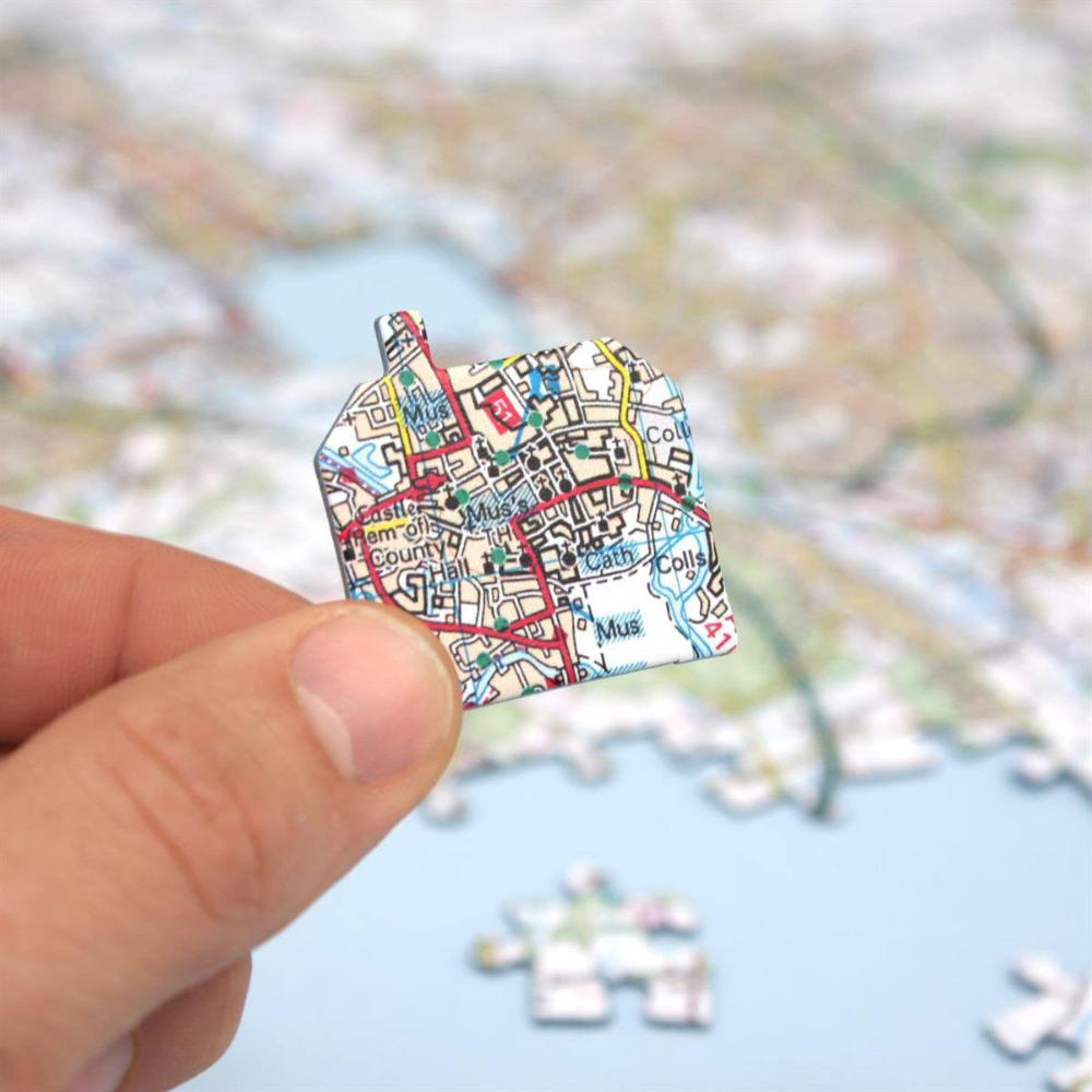
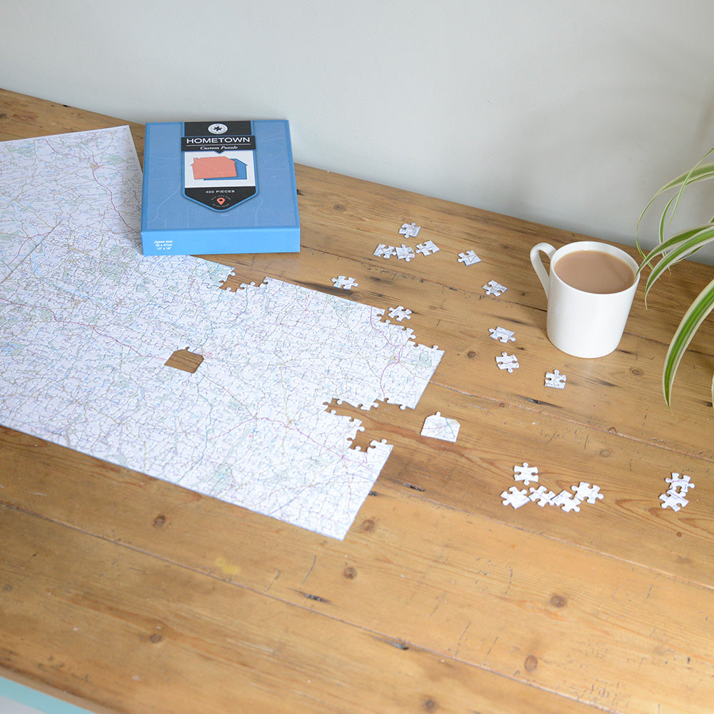
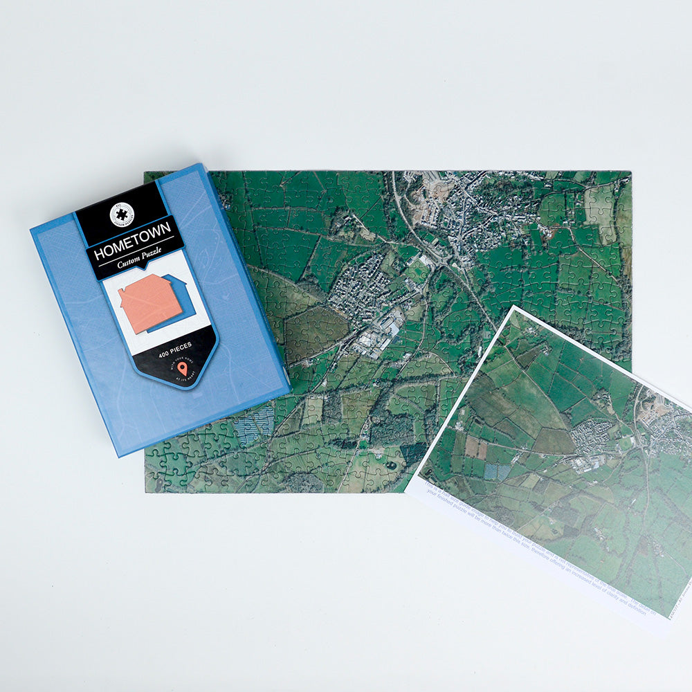
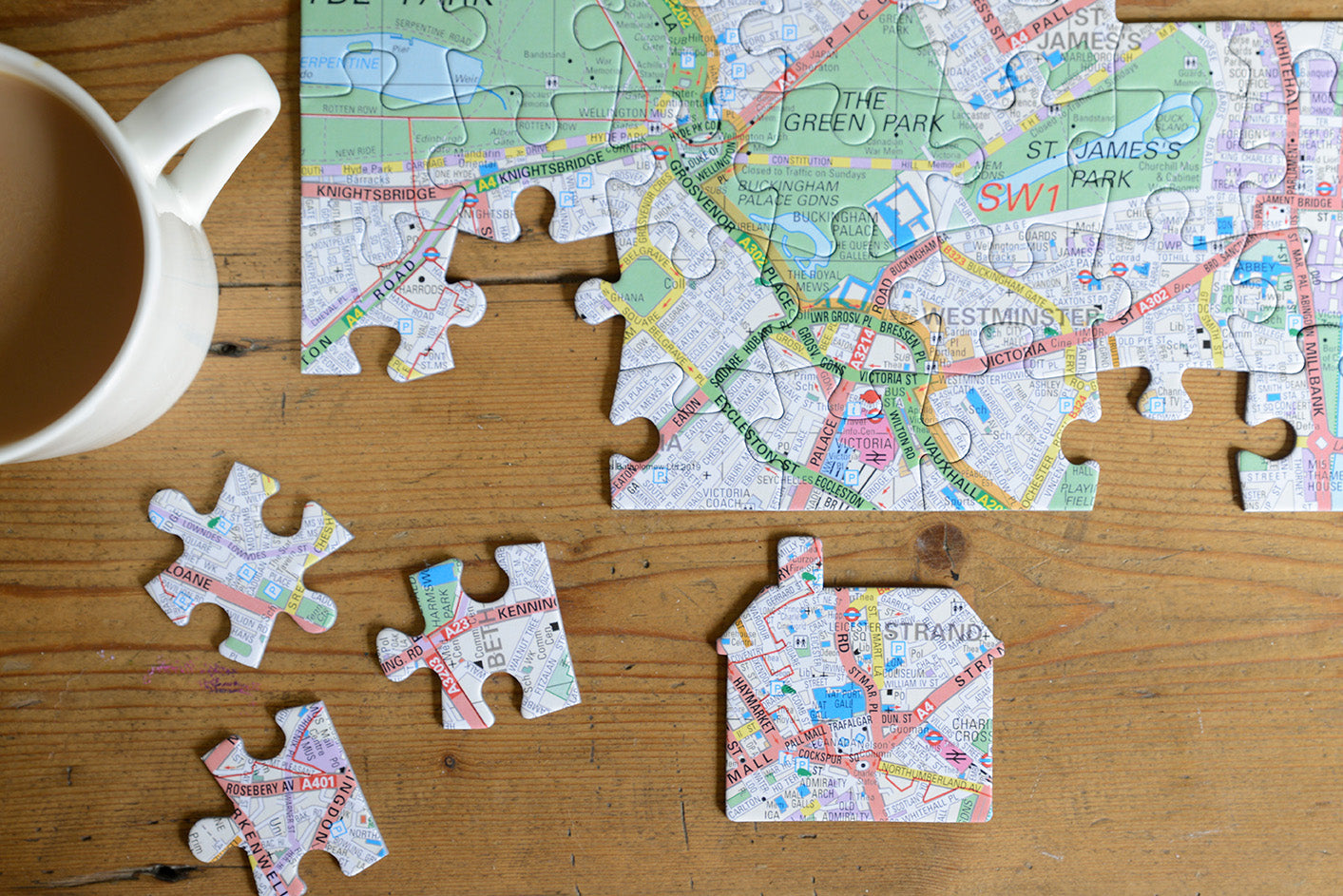
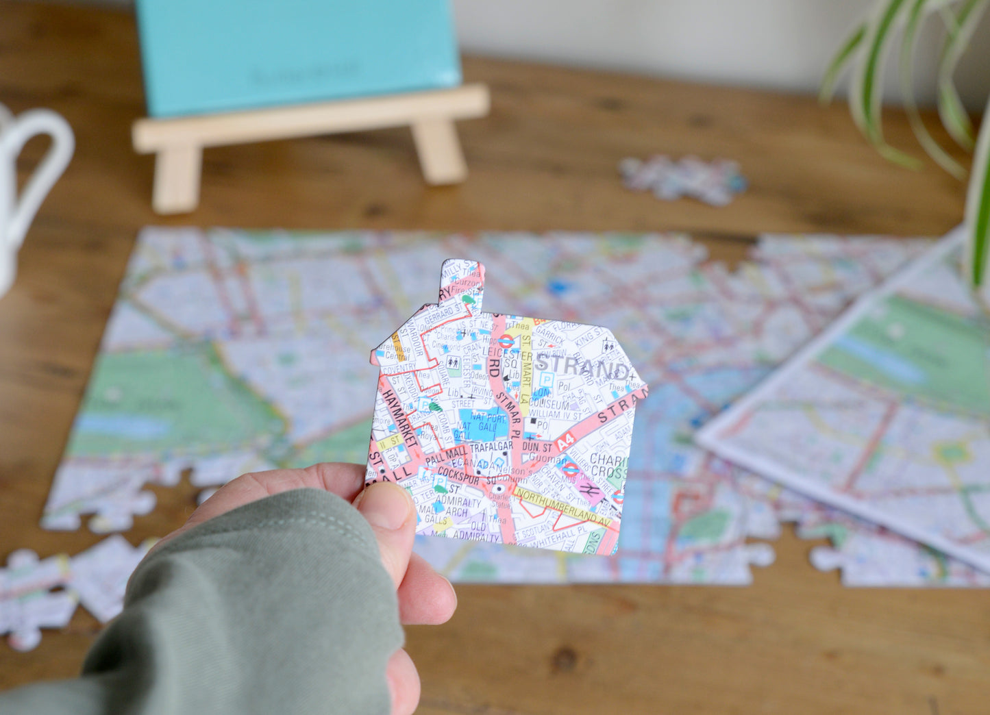
Your map jigsaw is completely unique with a distinctive house-shaped centrepiece based on the special address in your life.
Simply give us the address and postcode of the property you'd like at the centre of your map jigsaw puzzle. The result? An engrossing puzzle that will test your local knowledge to the full! If you're buying for a friend, you can handwrite your own personal message in a space on the box lid.
Choose from one of five intriguing map styles‚ the Ordnance Survey and Streetview Mapping bases are available for all of mainland Great Britain. The Victorian and Aerial bases are only available for England and Wales. The London Street map base is only available for Greater London inside the M25.
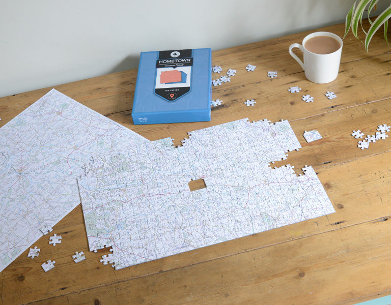
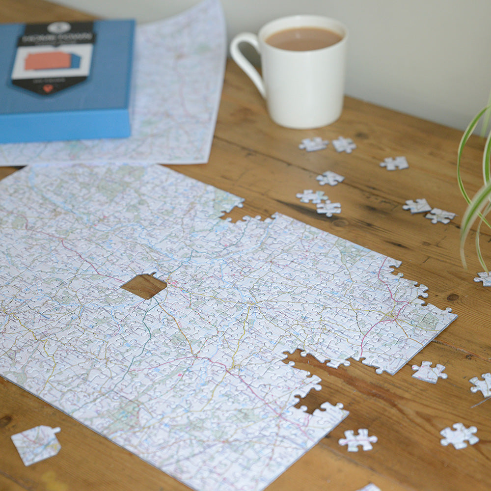
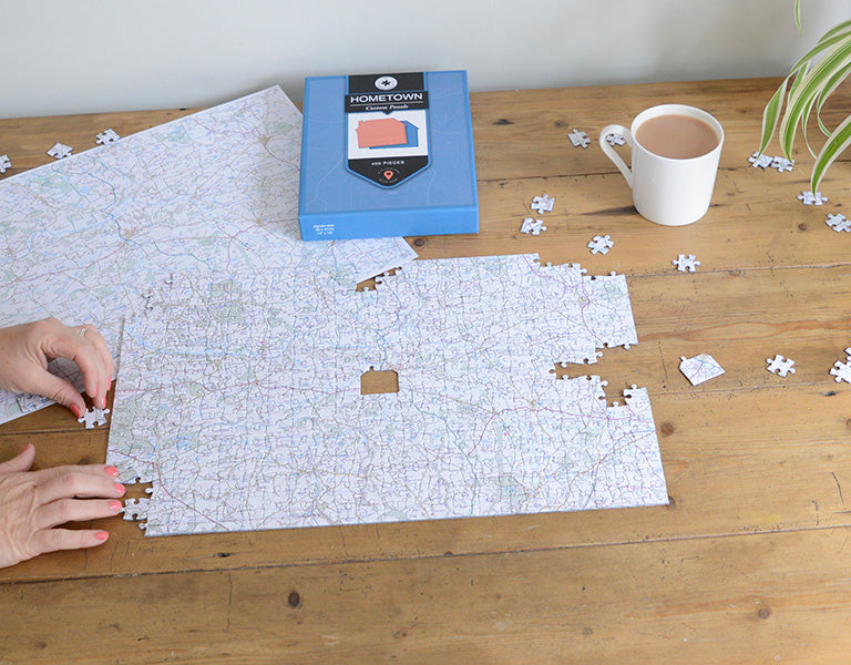
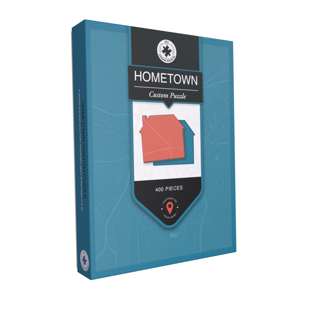
Your jigsaw will arrive in an attractive presentation box which contains an area on the box lid allowing you to write your own message to the recipient. Made using high quality 1.9mm millboard, these superb jigsaws are hand-finished by our expert craftspeople.
The completed 255-piece puzzle measures 27 x 37cm.
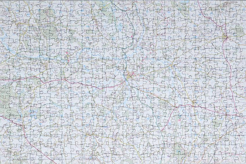
The completed 400-piece puzzle measures 32 x 47cm.
The completed 100-piece puzzle measures 46 x 30cm
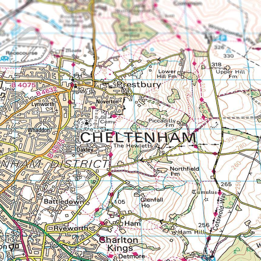
UK Topographic (1:50,000) - Shows 7.5 miles east to west and 5 miles north to south for the. Covers Great Britain, the Isle of Wight, the Shetland Islands, the Orkney Islands and the Hebrides.
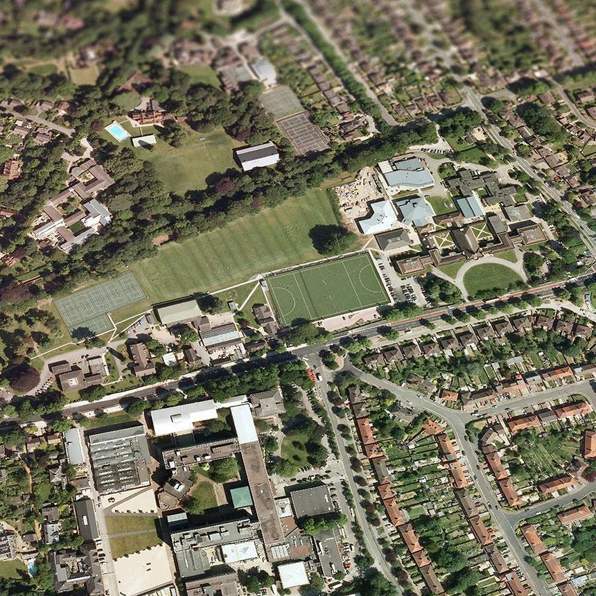
UK Aerial Photography (1:5,000) - Shows either 1.5 miles east to west and 1 miles north to south. Covers England, Wales and Scotland, including the Isle of Man, Isle of Wight, the Shetland Islands, the Orkney Islands and the Hebrides.
Aerial Imagery for the United Kingdom courtesy of Getmapping Ltd, 2025.
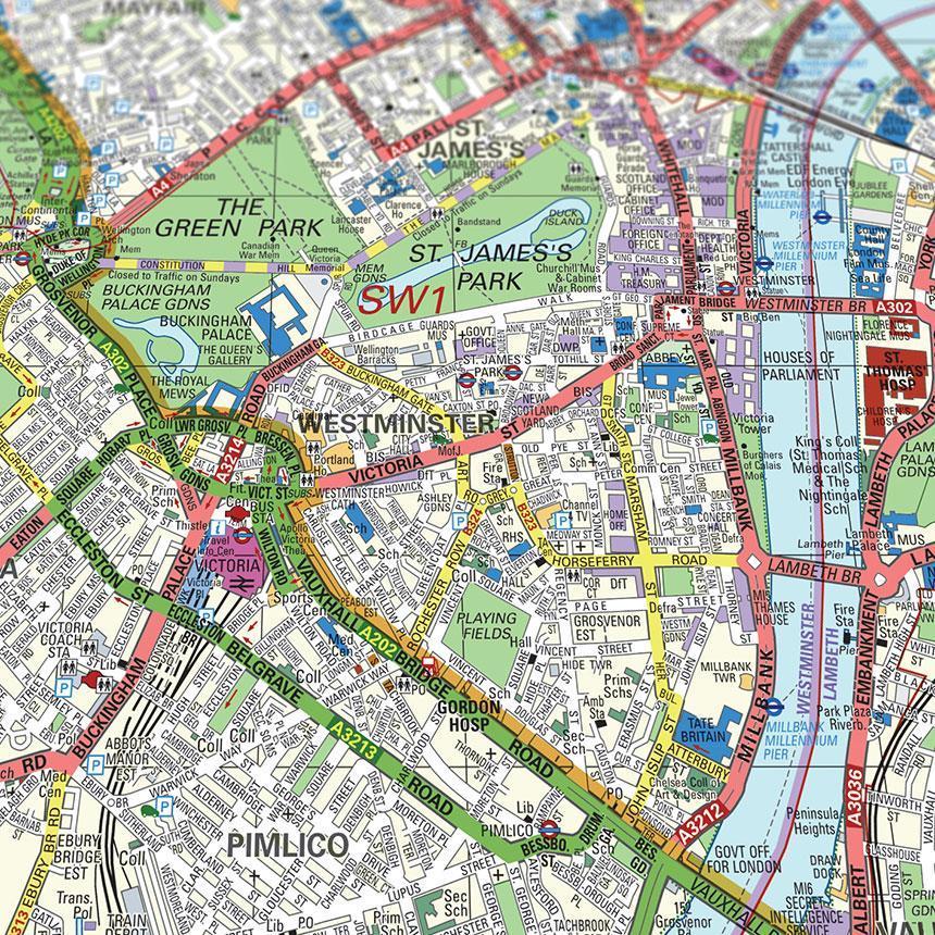
Bartholomew street level London mapping (1:12,000) - Shows either 2 miles north to south and 2.6 miles east to west for the 255-piece jigsaw, or an area of 2.4 miles north to south and 3.5 miles east to west around your specified centre point for the 400-piece jigsaw. Covers all postcodes within the M25.
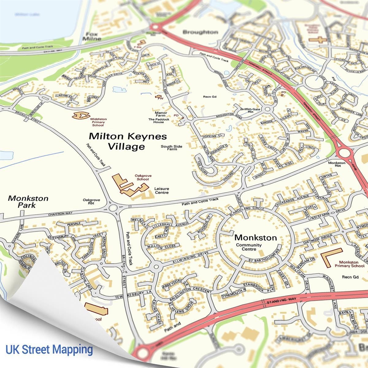
UK street mapping (1:14,000) - Shows 4.2 miles north to south and 2.7 miles east to west. Covers England and major cities in Wales and Scotland (Excludes London)